Installing and Networking a Class B AIS Transceiver with a Chart Plotter and VHF Radio using NMEA 0183
In 2015 I purchased an AIS receiver for a trip up the Inside Passage. This posting is largely an upgrade of the posting for that installation. I suspected at the time I might look back on purchasing only a receiver as a false economy, and that turned out to be the case. I want to be SEEN as well as to see others. This year I purchased a Vesper XB 8000 AIS transceiver to replace the perfectly functional Digital Yacht AIS receiver that I had benefitted from over the previous three seasons.
 My decision to go with Vesper was based on the reputation of their product and their customer service, and also because the device makes the data on my network visible via a WiFi gateway. This should make it easier to pull off tracking and route data, and to display AIS targets on tablet or phone as well as the chart plotter. The XB-8000 also provides an easily managed anchor alarm, accessible by tablet or smart phone. I won't have to sit in the cockpit all night watching the chart plotter... the terror of a dragging anchor will be accessible from my berth.
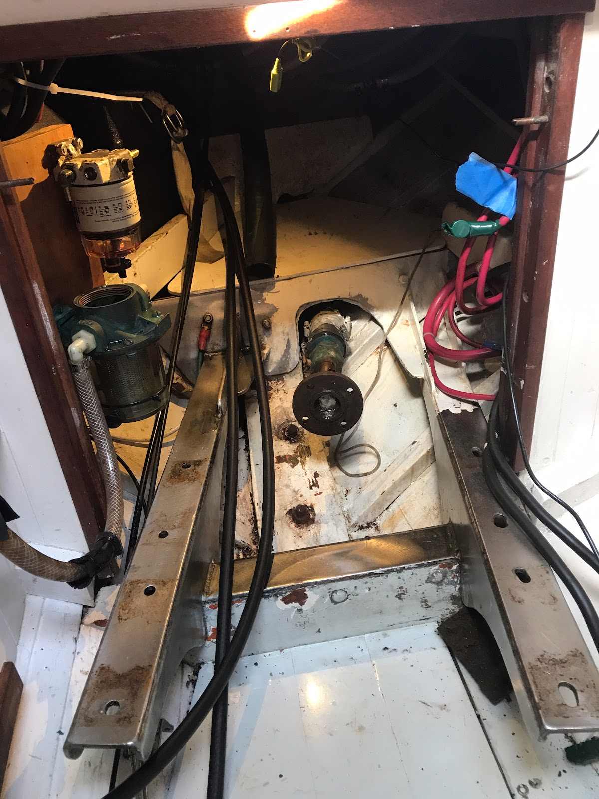
I received the transceiver and realized almost at once that i needed an antenna splitter, a painful ancillary expenditure that I imagined I would not have to make (I already had one) before realizing there are splitters and there are splitters, and I needed the latter rather than the former.
Advice from at least one online contact suggests a separate antenna might be better than sharing theVHF antenna (which has been in place since before I owned Ripple) but I've been successful with a shared antenna, and am going to stay in that mode until experience pushes me in another direction. A separate AIS antenna would actually have been less costly than Vesper's antenna splitter, but there is simply no place to attach it on my small vessel that does not entail a trip up the mast and lashing cables to the shrouds. I'll take my chances with the splitter, and I've ordered a spare antenna as backup (Thanks to Michael Barrett for recommending the Pacific Aerials P6031 telescoping emergency antenna -- a perfect solution for a me, as it is compact and nicely packaged to be tucked away securely for deployment that I hope won't be necessary).
NMEA 0183 is a fairly simple protocol, explained at some length here. Each device is either a talker or a listener. Some devices have both talker and listener channels. The communication possible among NMEA 0183 devices is limited to a defined set of sentences that have a registered meaning. Talkers can broadcast sentences to as many as 4 other devices, while listeners are limited to listening to only one talker. A listener that doesn't understand a sentence simply ignores it.
A communication channel is established via a simple point-to-point wiring of two wires for each channel. So, connections at devices are labeled as either OUT (+), OUT(-), IN(+), or IN(-). IN and OUT refer to the direction of the communication (whether a device is a talker or listener). (+) and (-) indicate which connection is the signal and which is for grounding the circuit. Notice that on the accompanying diagram, all (-) connections are connected to a common ground on the chart plotter, simplifying the wiring somewhat.
The chart plotter listens to the AIS transceiver so as to display AIS targets. It also feeds the transceiver position, heading, and speed information so that information about its own vessel can be broadcast to other AIS-equipped vessels.
Careful inspection of the wiring diagram reveals that the chart plotter is the hub of the system: The radio has a talking channel and a listening channel, both connected to the chart plotter. The AIS transceiver similarly has one talking channel and one listening channel. The chart plotter has three ports: one talks and listens to the VHF radio, another talks and listens to the AIS transceiver, and the third port talks to the tiller pilot, which is mute. In effect, these "ports" make the chart plotter three devices from the perspective of the network.
There are GPS receivers in the chart plotter, the AIS transceiver, and the VHF radio. How precedence is established or discrepancies are resolved is beyond my pay grade, though by law, AIS devices must rely on their own GPS circuitry. Other devices on a network can use an AIS GPS signal, though I'm not sure how relevant this is, as most technology above the level of a coffee spoon seems to have their own these days.
I'm heading from Seattle to Glacier Bay again this summer. If my AIS target shows up on your chart plotter, say hi!
Notes:
Thanks to Ken Goodings (from the Facebook group "Marine VHF, DSC, and AIS" for suggestions on improving this post. If you are interested in this topic, it will serve you well to join this group.
One of the benefits of this upgrade in Ripple's safety equipment is that it has occasioned a deeper understanding of AIS technology: it is far richer than I had imagined. The Wikipedia article on the topic is a lot to digest, but well worth your attention.
My decision to go with Vesper was based on the reputation of their product and their customer service, and also because the device makes the data on my network visible via a WiFi gateway. This should make it easier to pull off tracking and route data, and to display AIS targets on tablet or phone as well as the chart plotter. The XB-8000 also provides an easily managed anchor alarm, accessible by tablet or smart phone. I won't have to sit in the cockpit all night watching the chart plotter... the terror of a dragging anchor will be accessible from my berth.I received the transceiver and realized almost at once that i needed an antenna splitter, a painful ancillary expenditure that I imagined I would not have to make (I already had one) before realizing there are splitters and there are splitters, and I needed the latter rather than the former.
Advice from at least one online contact suggests a separate antenna might be better than sharing theVHF antenna (which has been in place since before I owned Ripple) but I've been successful with a shared antenna, and am going to stay in that mode until experience pushes me in another direction. A separate AIS antenna would actually have been less costly than Vesper's antenna splitter, but there is simply no place to attach it on my small vessel that does not entail a trip up the mast and lashing cables to the shrouds. I'll take my chances with the splitter, and I've ordered a spare antenna as backup (Thanks to Michael Barrett for recommending the Pacific Aerials P6031 telescoping emergency antenna -- a perfect solution for a me, as it is compact and nicely packaged to be tucked away securely for deployment that I hope won't be necessary).
In my previous installation I had the chart plotter, the VHF, the AIS receiver and the tiller pilot networked. I have included the tiller pilot on the wiring diagram, but truth be told, I rarely drive it from the chart plotter... controlling it requires a 'key chord' from the tiller pilot buttons which I don't usually remember, and the tiller pilot will only follow one leg of a route without additional intervention. It isn't worth the fuss. The device itself is a godsend for long stretches of steering, especially alone. But I don't want to be a push-button helmsman -- there is too much temptation to allow your attention to wander, so I don't use that aspect of the device. I wouldn't even bother to wire it up to the network if I had it to do over again.
Most modern electronics are designed to live comfortably on networks, either the simpler NMEA 0183 analog network or the newer NMEA 2000 digital network. If you have just a couple of devices to link up, it is far cheaper to do 0183, and fairly strait-forward, but as you increase the number of devices, keeping track of the ins and outs, the positive and negatives, starts to get complicated. I think my installation represents an inflection point, and if money were no object, I'd put in a NMEA 2000 network: the connections are made trivially with commercial plug-and-play cables, eliminating the fiddly wires that require crimp connections.
NMEA 2000 is also much faster than NMEA 0183: 250 kbits/second data transfer versus 4800 bits/second for standard 0183 devices. AIS systems (including the XB-8000) generally use a faster version of the 0183 standard that runs at 38,400 kbits per second. Still much slower than the NMEA 2000 standard, but in my own limited experience, I have not experienced anything that felt like sluggish updating of AIS targets on my chart plotter.
A NMEA 0183 message, or sentence, is limited to 82 characters, or 656 bits. The theoretical speed at which the AIS device can populate the AIS target tables on another device (a chart plotter, for example), is roughly 60 messages a second (38,400 / (82 characters * 8 bits per character)). My back of the envelope calculations are probably wildly incorrect... the device throughput is far more complicated than this. Complex updates can require as many as 9 sentences, for example. Once again, updating, even in crowded harbors, seems to be plenty fast enough. The channel that sends out your own vessel's data only runs at 4800 bits/second, but that is more than enough given that a vessel such as mine transmits data once every 30 seconds while underway (Class B transceiver, moving faster than 2 knots).
A communication channel is established via a simple point-to-point wiring of two wires for each channel. So, connections at devices are labeled as either OUT (+), OUT(-), IN(+), or IN(-). IN and OUT refer to the direction of the communication (whether a device is a talker or listener). (+) and (-) indicate which connection is the signal and which is for grounding the circuit. Notice that on the accompanying diagram, all (-) connections are connected to a common ground on the chart plotter, simplifying the wiring somewhat.
The chart plotter listens to the AIS transceiver so as to display AIS targets. It also feeds the transceiver position, heading, and speed information so that information about its own vessel can be broadcast to other AIS-equipped vessels.
Careful inspection of the wiring diagram reveals that the chart plotter is the hub of the system: The radio has a talking channel and a listening channel, both connected to the chart plotter. The AIS transceiver similarly has one talking channel and one listening channel. The chart plotter has three ports: one talks and listens to the VHF radio, another talks and listens to the AIS transceiver, and the third port talks to the tiller pilot, which is mute. In effect, these "ports" make the chart plotter three devices from the perspective of the network.
There are GPS receivers in the chart plotter, the AIS transceiver, and the VHF radio. How precedence is established or discrepancies are resolved is beyond my pay grade, though by law, AIS devices must rely on their own GPS circuitry. Other devices on a network can use an AIS GPS signal, though I'm not sure how relevant this is, as most technology above the level of a coffee spoon seems to have their own these days.
I'm heading from Seattle to Glacier Bay again this summer. If my AIS target shows up on your chart plotter, say hi!
Notes:
Thanks to Ken Goodings (from the Facebook group "Marine VHF, DSC, and AIS" for suggestions on improving this post. If you are interested in this topic, it will serve you well to join this group.
One of the benefits of this upgrade in Ripple's safety equipment is that it has occasioned a deeper understanding of AIS technology: it is far richer than I had imagined. The Wikipedia article on the topic is a lot to digest, but well worth your attention.

Comments
Post a Comment