Choosing a Chart Plotter

Choosing a chart plotter involves many interlinked factors:
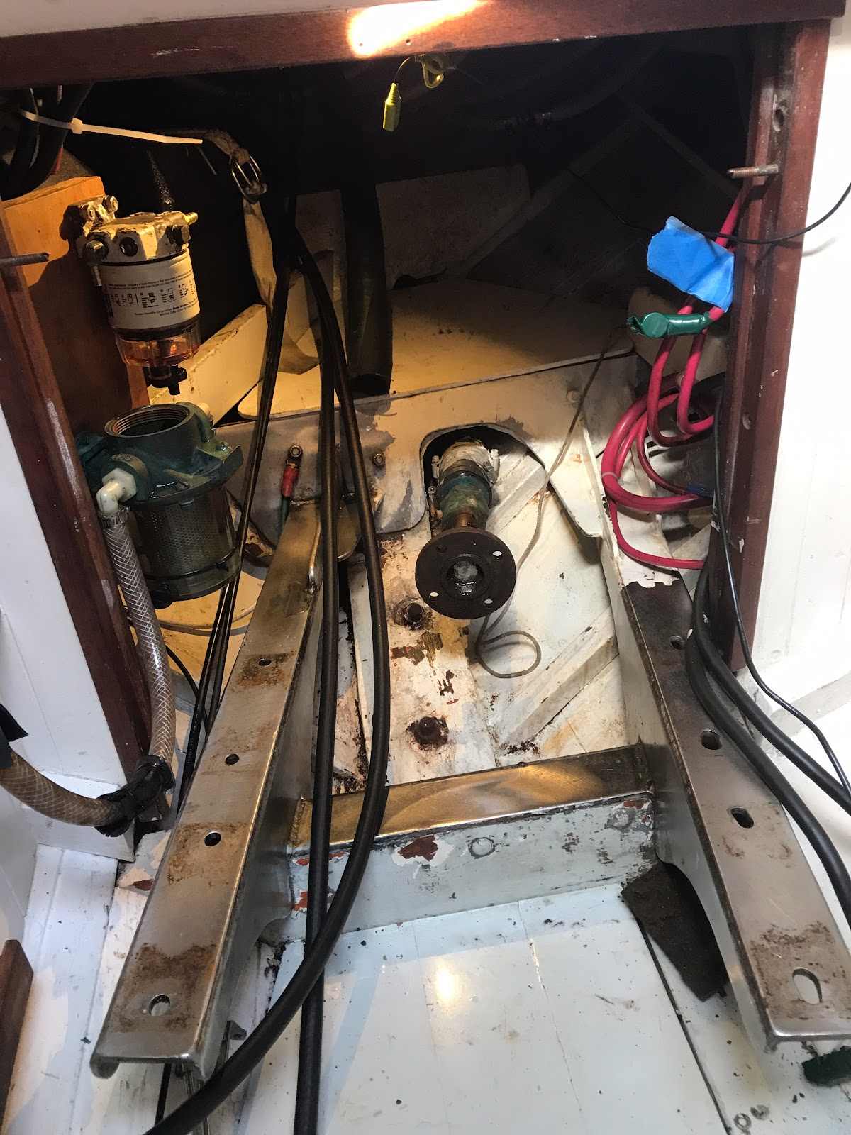
- Physical installation constraints - location, wiring, bulkhead pass-throughs....
- GPS satellite systems and capabilities (see the Wikipedia article for summaries)
- Proprietary mapping suites (one of the most important factors with substantial cost implications). The lack of good information on the variety of choices, even within a single provider, is frustrating and maddening. It is easy to suspect that the obfuscation is intentional, though perhaps it simply reflects a stronger focus on technology than on consumers.
- Connectivity to other devices - VHF, AIS, Radar, instrumentation, autopilots, depth, wind, and temperature transducers. Fortunately, devices made in recent years mostly conform to NMEA 0183 or NMEA 2000 networking protocols. Still, hooking them all together is challenging and fraught (the reliability of any electronic system is inversely proportional to the number of connections... connection is, after all, Latin for failure point). At some point one faces the decision to go from wire-the-damned-things-together, to actually setting up a multiple device NMEA network. I think I'm still in the wire-em-up stage.
- User interface models and implementation. This is huge, and very difficult to evaluate on a showroom floor, and impossible from online information. Crap shoot, or talk to users.
- Reliability. Furuno or all the rest, as near as I can tell.
- Documentation (these devices are not iPhones... they require good documentation).
- Screen quality -- the ultimate interface issue. Is it easily readable in direct sun? How splash resistant is it? This is one of the major reason why I abandoned the iPad as a chart plotter surrogate. It is hard to read in the sun, it overheats easily, and the power connector (the old style) is dodgy and unreliable.
- Range of functionality -- single station? multi-screen? digital instrument screens? You have to decide whether you want charts or fish or bottom contours or radar displays or instruments or a stereo or all of the above. I chose charts.
- Availability of planning applications, and transferability (iPad or laptop apps that allow you to plan a trip and transfer it to the chart plotter). This is perhaps my biggest worry about my choice. I may have aimed too low.
I spent many hours over several months pondering these variable (having to re-educate myself between intervals of research, as it is hard to keep all the factors in perspective over time).
I finally selected the Standard Horizon CP390i based on the physical controls of the unit and that I could get the entire west coast of North American on a single C-MAP chart set. This chart set does not have all the bells and whistles of newer chart sets but I'm betting that what it doesn't have, I can probably do without. I want charts, not restaurant reviews. As it turns out, I only learned of this chart set at the Seattle Boat Show. This single piece of information saved me more than $175 compared with the two sets I would have needed for the chart sets with richer features. Whether this is the right decision, only time will tell. At some point, you just have to pull the trigger and hope you're on target.
The last two units in my selection tree were the CP390i and a similarly priced Furuno unit. Furuno has a great reliability reputation, and I almost went that way for that reason alone. The same chart set will work with that model. In the end, I chose the Standard Horizon because it has more physical buttons. I'm leery of having to navigate through menus to get to a display or information page, and the 6 programmable soft keys (as well as fixed keys for basic functions) appealed to me. No pinch-to-zoom, which I suspect might be problematic under certain conditions (Ripple has an open cockpit, and i'll often have gloves on in the rainy Inside Passage).
My first complaint about the model I purchased is a truly dreadful manual. It is printed in black and white, spiral bound, 5.5"x8" and the text is printed in perhaps 8 point type! The diagrams and tables are too small and the screen shots are unreadable. For old-fart eyes like mine, this is terrible, and if you have to find information in it in suboptimal conditions (on a pitching 26 foot cutter, for example), it will be problematic to say the least. You can download the manual from the Internet in PDF format, and it prints 8.5 x 11 -- much better! But really ... the product comes with a toy manual and I have to print and bind my own to be readable?
Oh, and there is an addendum with fairly important changes that has NOT been incorporated in the manual, so you have to do that yourself. None of this inspires confidence, but I remain optimistic about my eventual satisfaction. More as the installation proceeds.


Comments
Post a Comment