Catching the Scent
 |
| Leaving Grenville Channel to the south, moving north on Chatham Sound |
 |
| Lowe Inlet to Kelp Passage: 40 nMiles |
We settle on Kelp Passage, though, looking at the chart I am wondering why. It looks like the open passage to the north should funnel winds and seas right down into this area and make a mess of us. It is the most exposed anchorage of the trip. My inexperience in judging both weather and anchorages leaves me troubled, but there is no alternative close, I trust to the forecast and to good luck (always a bad idea), and we have no trouble.
The next morning we are away soon after 0500, and we have a plan. Prince Rupert is the northernmost city on the Canadian coast, and has good facilities. Jumping off from PR gives you the option of hopping along the coast, staying away from the open stretches of the Dixon Entrance. The downside is that you have major outflow currents from Portland Inlet, so you have to time your crossing with the tides, and this route is much longer. The alternative is to tuck into Brundige Inlet on the north side of Dundas Island, which leaves about 15 miles of open water to cross, and this is what we elect to do.
Getting from Kelp Passage to Dundas involves crossing one stretch of open water that could be troublesome, but the weather has been favorable thus far, and the forecasts sound promising. We experience modest swells in this area (less than a meter) but nothing difficult. Once past this area, the route is in the lee of the Moffat Islands, and there is little difficulty (in present weather conditions) sneaking around the northeast corner of Dundas and into Brundige Inlet.
 |
| Kelp Passage to Dundas Island: 47 nMiles |
We found our friends Glenn and Becky of m/v Wavelet at anchor here, and were glad to see a familiar transom. They invited us over for happy hour, and we were pleased to accept and get a tour of their 50 foot Ocean Alexander. Six hundred miles out of Seattle, they were still having difficulties with their newly-installed stabilizers, in spite of many phone calls to the installer. Becky, the chief engineer, showed me the engine room and the installation and I looked it over (who knows? maybe something will jump out?), and we talked about the symptoms and discussed possible faults in the networking of the GPS and the stabiliser controller. I had no useful advice... no surprise there. Happily, they found a competent technician in Ketchikan who solved their problem, which turned out to be a collection of poor installation mistakes, and their boat performed flawlessly afterwards.
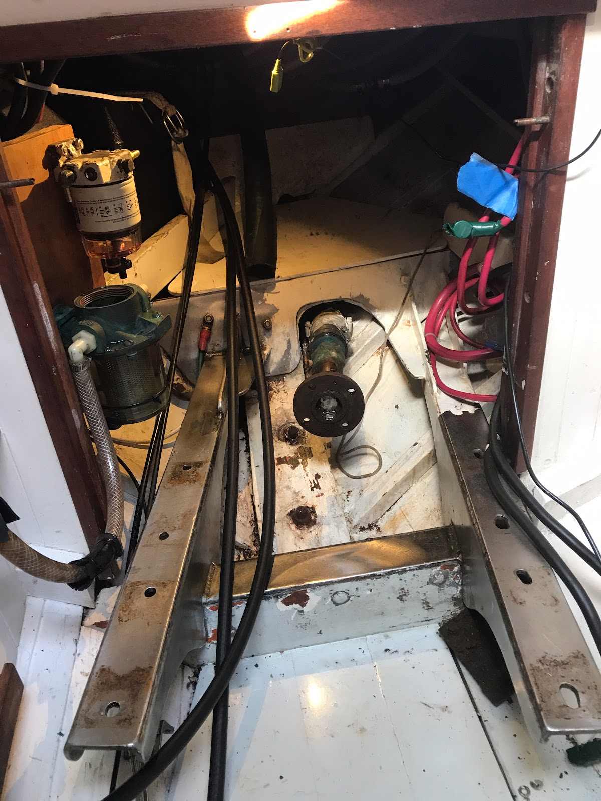
The cautionary tale is about shakedown cruises, and is one I violated in several ways on our own trip. You sail with new systems at your peril: especially complicated electronic systems with lots of interdependencies. But this is what we do before a long trip -- add functionality, and hope we have long enough to test the systems adequately to assure all is working. Nice in theory, but rare in fact. In my own case, I had problems with my ground tackle, my tiller-pilot stanchion, and my fuel system that all had to do with too little pre-trip testing. One copes.


Comments
Post a Comment