Marguerite Bay to Manzanita Bay
 |
| Revillagigedo Island |
Ketchikan is located on a narrow channel at the southwest corner of Revillagigedo Island. The Behm Canal circles the Island from about 9 o'clock to 6 o'clock. You can count on rain -- the driest month in Ketchikan is wetter than the wettest month in Seattle. But the waters are well protected, and we expected a gentle, if rainy, circumnavigation of the island.

The payoff for motoring quietly through the rain is Misty Fjords National Monument. Several large fjords indent the eastern shore of the rugged mainland, storied for their ghostly grandeur. As Mathias's departure date neared, we looked forward to spending a day or two exploring the fjords before heading back to Ketchikan for a crew change.
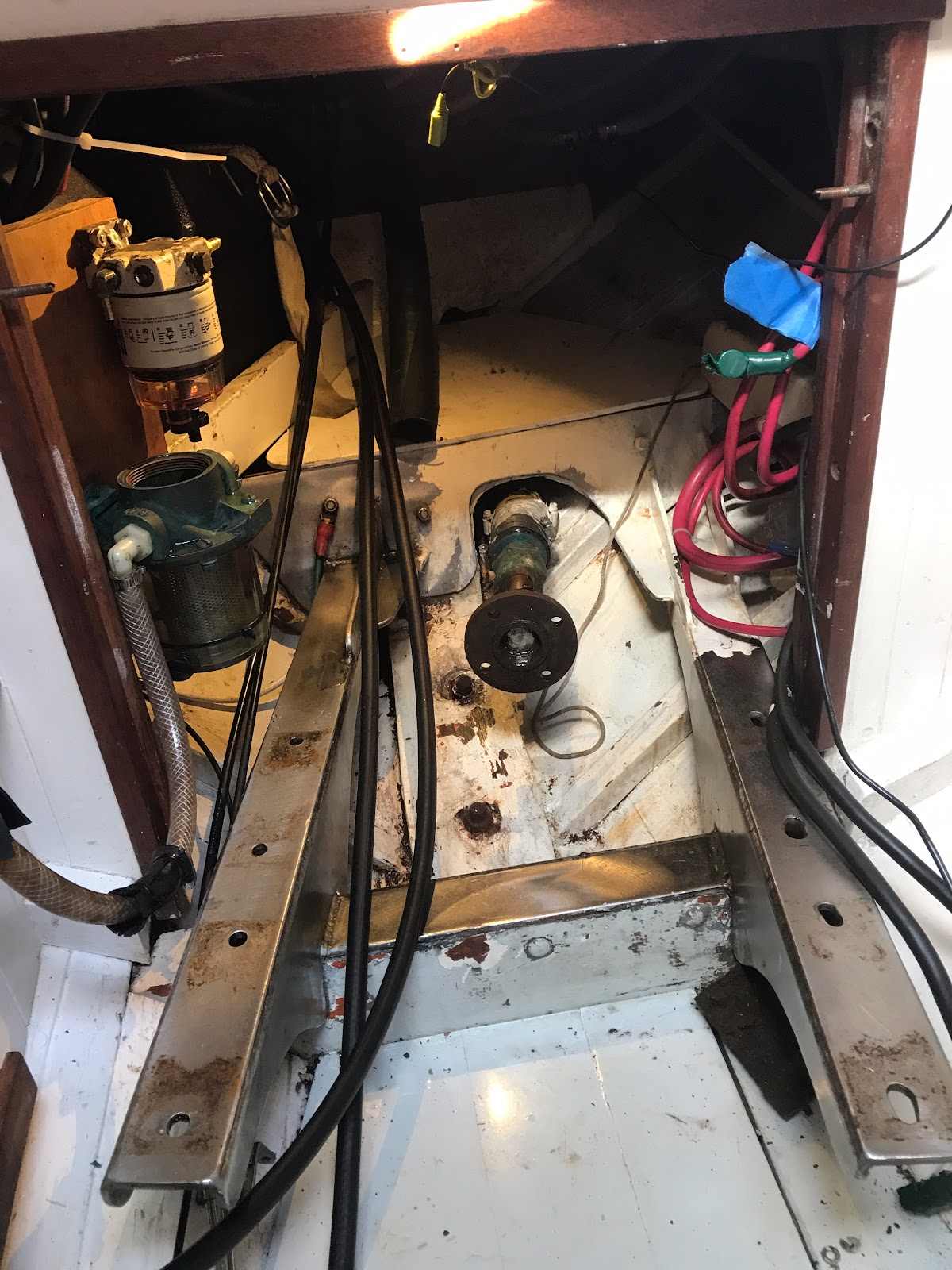
The major challenge for traveling these waters is the dearth of easy anchorages. The shores of the fjords are steep-to: that is, they drop steeply into deep water, affording few opportunities for safe anchoring. Fifteen fathom are the rule around here, and such anchorages are difficult for a small boat: 90 foot depths mean that even a 3:1 anchor rode scope requires almost 300 feet of rode. All retrieved by hand, of course... no windlass on Ripple. When I replaced my ground tackle in preparation for the trip, I included 400 feet of nylon rode specifically for such conditions.
 |
| Ripple's Force 10 kerosene heater was useful on a single occasion |
 |
| The rain abated in the afternoon |
The barometer had started the day at 1013 millibars, but rose gradually as the day went on, and by afternoon was up at 1019. The rain dissipated and we looked forward to a dryish evening. By the end of the day we would have 14 1/2 hours on the clock, but we would be in position to spend the entire next day in Rudyerd Fjord, and have plenty of time to get back to Ketchikan.
 |
| Manzanita Bay is across from the entrance to Rudyerd Fjord The red icon indicates out anchorage |
The most secure anchorage spot in Manzanita is a protected notch open to the north with a depth of about 40 feet. The interior of the bay is just too deep - 20 fathoms (120 feet) is too much for me. The Douglas guide suggests the notch and a stern tie as an alternative, which is what we did. Stern ties (bow anchored, line from a stern cleat to the shore to keep the boat oriented in a particular way) are common in British Columbia, but this was the first anchorage I had felt inclined to go to the trouble. We set the anchor, backed hard on it to be sure it was holding well, and carried a line into shore with the dinghy.
Dinner that night was fish tacos, made with canned salmon that probably traveled further than we had. We left the depthometer on over night to be sure we were ok on our hook, and the alarm went off around 0330 - 9.5 feet, at dead low tide. Not a problem. We hadn't budged. We had had a good night's sleep, as yet unaware that setting up our anchorage had set the stage for the most serious problem of the trip, one that would cost a great deal of time and treasure to resolve, and would teach an important lesson in diagnostics.


Comments
Post a Comment